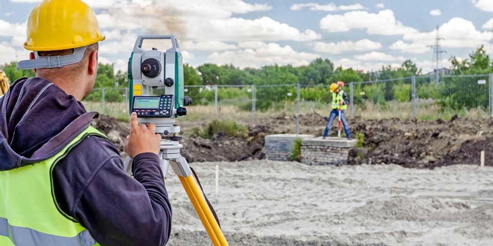
Before you can start work on a commercial building, you need to know the lay of the land. In this regard, one of the best tools for designers, architects, and property owners is a topographical survey. This site survey maps the contours of a plot, as well as any major surface features. If you need some motivation to invest in this service, take a look at the following list.
3 Benefits of Topographical Site Surveys
1. Planning for Excavation
Natural land isn’t flat and ready for foundation building—it’s full of peaks and depressions, rolling curves and jagged edges. With a topographical site survey, you’ll have a precise map of these shapes, so you can develop an airtight excavation plan.
To build your commercial building, the excavation crew will need to know which areas to level out, and where to create more of a slope. This will be crucial to the structural integrity of the building, as well as the drainage around it.
2. Building Around What’s There
 You may not want to clear away every trace of the land that was there before. Especially if your company or project is eco-conscious, there is value in assessing your building’s impact on the natural ecosystem.
A topographical survey will map out the exact location of existing features, such as old trees, boulders, creeks, and ponds. This way, you can construct your property around these elements, instead of destroying them and building on top.
3. Envisioning the Final Product
Your architectural team will also benefit from the topographical survey, as they can use it to create a realistic rendering of the final product. In crafting a sketch or 3-D model, they can find out what parts of the design work and what parts don’t.
Perhaps the building’s dimensions need to be modified, or the shape of the parking lot needs to change. With the topographical survey, you’ll have a more concrete depiction of your vision, so you can approve the designs or suggest alterations with confidence.
Before moving forward with your commercial construction project, reach out to McCarty Associates of Hillsboro, OH. Since their founding in 1963, they’ve been performing site surveys for residential, commercial, and industrial clients. Whether you need a topographical, land title, or aerial photogrammetry control survey, you can rely on their skills for quality results. To learn more about their work, including architectural and engineering services, visit the website. You can also call (937) 393-9971 to schedule a consultation.
About the Business
Have a question? Ask the experts!
Send your question

