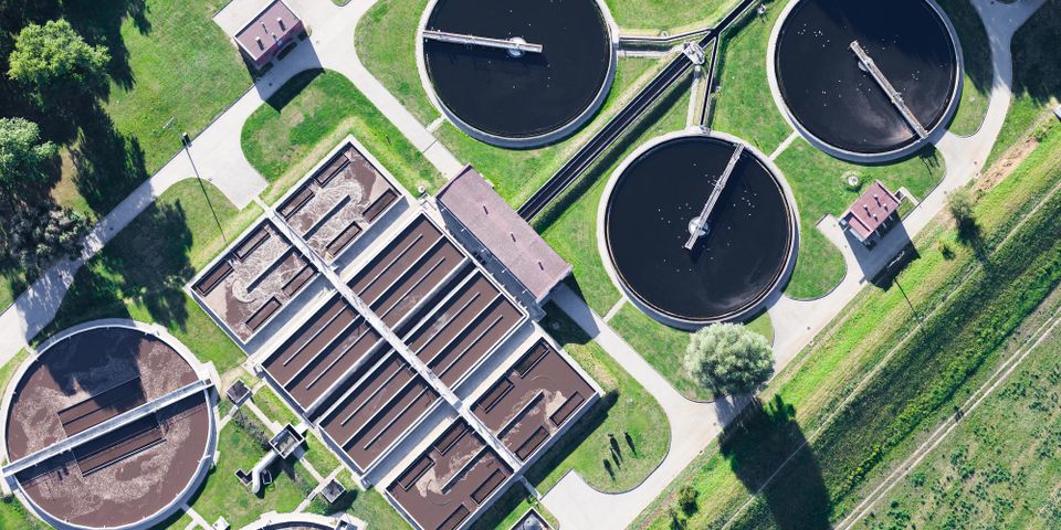
Throughout the years, there have been monumental advancements in photography, from taking cameras underwater to putting impressive lenses inside cell phones. Still, aerial imaging has remained one of the best and most striking ways to capture large areas of land or real estate. Whether you’re trying to sell a property or scope out a construction site, the following list of benefits will encourage you to pursue this imaging method.
Your Guide to Aerial Imaging
1. Inspecting Construction Sites
For many years, balcony, gutter, and roof inspections had to be conducted using scaffolding or cherry pickers to get high enough to take pictures. Now, with the increasing accessibility of drone cameras, aerial imaging can be used to take photos or video footage of these areas. The high-quality footage taken via a drone will allow personnel to determine repair needs.
2. Creating Unique Marketing Tools
 If you’re trying to sell a property, aerial imaging allows real estate agents and private sellers to take breathtaking videos of their properties. Unlike static photos or ground-level videos, this footage offers the benefit of a bird’s eye view. Buyers will be able to see a massive property all at once, so they can take in the beauty of the gardens, pool, or balconies.
3. Revealing Surrounding Areas
No matter the property, aerial imaging is an excellent way to capture the relative location of a structure or plot. Buyers, developers, and other professionals can use the footage or images to see if, for example, a hotel is close to a bustling shopping area or encircled by acres of private forests. They can also reveal the proximity of bodies of water, parks, and schools, instantly putting the plot into geographical context.
If you’re interested in reaping the benefits of aerial imaging, turn to Mid-Penn Engineering in Union County, PA. They have been offering top-tier structural engineering services since 1969, and they can ensure your project goes smoothly from start to finish. For more information about their computer-aided drafting, drone technology, and land surveying services, visit their website. Call them at (570) 524-2214 to discuss your project today.
About the Business
Have a question? Ask the experts!
Send your question

