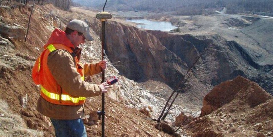
Land surveying is not a new task, even though purpose and methods have changed over the years. Here, the experts at Mid-Penn Engineering in Lewisburg, PA, weigh in on the history of land surveying and what it’s used for today.
A Brief History of Land Surveying
Land surveying began as early as the 1400s when ancient Egyptians used pegs and ropes to measure and stake out their property. These techniques, and the reason for surveys, changed as time went on and people focused on conquering new lands. For example, Lewis and Clark were land surveyors sent to explore what is known today as the Pacific Northwest; they drew maps as they went, noting the terrain, climate, and people they encountered.
 As commercial enterprises became the way of life instead of simple trading and subsistence living, surveyors were hired to denote plots of land that pertained to business. The tools developed, and compasses, tripods, and scopes were used to measure the land. The profession became a job during the industrial revolution and is still practiced today, albeit with the help of modern tools like computers, satellite imagery, and drones.
Land Surveying Today
Much of the world has already been mapped, with images and drawings that show topography to scale. However, surveyors are far from obsolete. Today’s surveyors are often hired during construction projects or real estate deals to create and fact-check plat maps that show property boundaries. These lines constantly change as land goes from one buyer to the next, so surveyors must keep a record of these purchases. New buyers benefit from this process because they can use the surveyor’s work to establish land boundaries and decide where to build.
Despite the changes in land surveying, the goal is still the same—to take stock of a property and map it out for the owner’s use. If you’re wondering about your property lines or are considering buying land, call Mid-Penn Engineering at (570) 524-2214. Visit the website to learn about mapping, subdivision plans, surveys, and construction stakeouts.
About the Business
Have a question? Ask the experts!
Send your question

